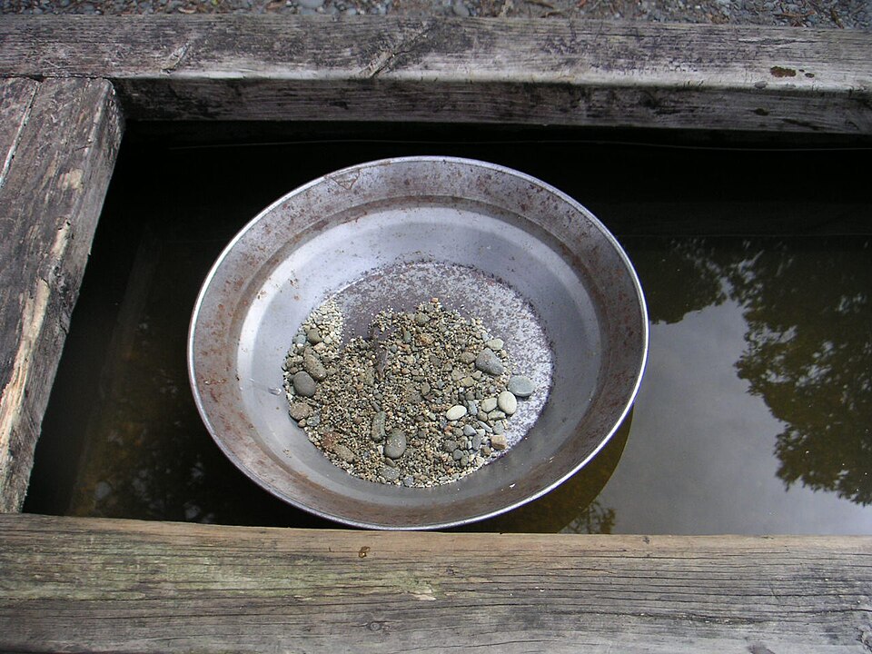
Located along Tennessee State Route 68 between Tellico Plains and Ducktown in southern Monroe County, the mountain community of Coker Creek remains the only active recreational gold-panning destination in East Tennessee. Because fine alluvial gold continues to weather out of Precambrian quartz-carbonate veins in the Unicoi Mountains during winter and spring rainstorms, hobbyists and families from Knoxville, Maryville, and Alcoa regularly make the scenic one-hour drive south to pan for real Tennessee gold.
1. Rules & Land Ownership Around Coker Creek
Before dipping a gold pan into any stream in Monroe County, you must distinguish between three types of land jurisdiction:
- Cherokee National Forest Public Lands: Within the Tellico Ranger District of the Cherokee National Forest, recreational hand-panning in stream beds is permitted only where there are no active mineral leases and provided you cause zero surface or bank disturbance. Motorized suction dredges, gas-powered highbankers, mechanical sluicing, and digging into vegetated stream banks are strictly prohibited to protect native brook trout and aquatic habitat.
- Private Property & Coker Creek Village: Much of the prime bottomland along Coker Creek itself flows through private parcels. Never trespass on private creek frontage without explicit landowner permission; instead, visit the Coker Creek Welcome Center on Highway 68, which offers access and panning troughs for visitors.
- Great Smoky Mountains National Park (Strictly Off-Limits): Unlike the National Forest, all mineral collecting, gold panning, and rockhounding are strictly illegal inside Great Smoky Mountains National Park under federal National Park Service regulations (36 CFR § 2.1).
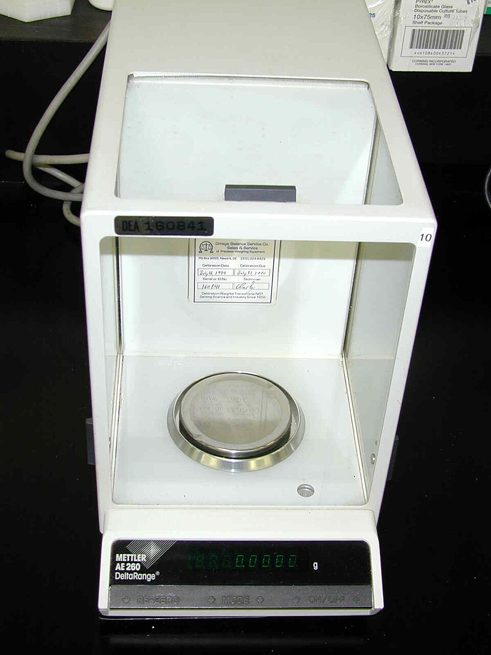
Know exactly what your jewelry and estate pieces are worth before visiting any buyer. Sort your items at home using a JSP 10K–22K Gold & Silver Acid Testing Kit, inspect worn stamps with a 10x Hastings Triplet Jeweler's Loupe, and weigh in true grams and troy ounces on a 0.01g Digital Jeweler Scale.
2. How Specific Gravity Traps Placer Gold in Mountain Streams
Because natural placer gold is roughly six to seven times heavier than ordinary quartz river sand and gravel (with a specific gravity of 16.5 to 19.3 compared to 2.65 for quartz), water velocity sorts gold automatically:
- Inside Bends of Creek Curves: As fast-moving water rounds a bend, current slows on the inside curve, dropping heavy black magnetite/ilmenite sand and fine gold flakes first.
- Downstream Behind Large Boulders: Low-pressure eddy pockets behind immovable boulders act as natural riffles.
- Bedrock Crevices in Slate and Schist: At Coker Creek, tilted layers of Ocoee Supergroup slate and metasiltstone form natural bedrock "riffle traps" across the stream floor. Scraping the compacted gravel and black sand out of bedrock cracks with a non-metallic crevice tool yields the best color.
3. Essential Gear for a Coker Creek Panning Trip
You do not need expensive machinery to find color at Coker Creek. A 14-inch green or black riffled gravity-trap gold pan, a 1/2-inch mesh classifier sieve (which sits on top of a 5-gallon bucket to screen out large rocks before panning), and a plastic snuffer bottle to vacuum tiny gold specs out of the black sand concentrates are all you need. See our Recommended Gold Panning & Testing Gear page for complete kit details.